
دوتنه:Decin panorama.jpg

د همدې ليدنې کچه: ۸۰۰ × ۶۰۰ پېکسل. نورې ژورليدنې: ۳۲۰ × ۲۴۰ پېکسل | ۶۴۰ × ۴۸۰ پېکسل | ۱٬۰۲۴ × ۷۶۸ پېکسل | ۱٬۲۸۰ × ۹۶۰ پېکسل | ۱٬۶۰۰ × ۱٬۲۰۰ پېکسل.
اصلي دوتنه (۱٬۶۰۰ × ۱٬۲۰۰ پېکسل, د دوتنې کچه: ۲۸۴ کيلوبايټ, MIME بڼه: image/jpeg)
لنډيز
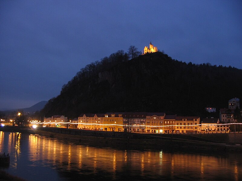
evening panorama of Decin
| Object location | | View this and other nearby images on: OpenStreetMap |
|---|
Author: Mohylek
منښتليک:
| I, the copyright holder of this work, release this work into the public domain. This applies worldwide. In some countries this may not be legally possible; if so: I grant anyone the right to use this work for any purpose, without any conditions, unless such conditions are required by law. |
د دوتنې پېښليک
په يوې نېټې/يوه وخت وټوکۍ چې د هماغه وخت او نېټې دوتنه چې څنگه ښکارېده هماغسې درښکاره شي.
| نېټه/وخت | بټنوک | ډډې | کارن | تبصره | |
|---|---|---|---|---|---|
| اوسنی | ۲۳:۵۹, ۷ جنوري ۲۰۰۶ | | ۱٬۶۰۰ × ۱٬۲۰۰ (۲۸۴ کيلوبايټ) | Mohylek | evening panorama od Decin Author: [http://pl.wikipedia.org/wiki/Wikipedysta:Mohylek Mohylek] |
د دوتنې کارېدنه
دا لاندينی مخ د همدې دوتنې سره تړنې لري:
د نړېوالې دوتنې کارېدنه
همدا دوتنه لاندينۍ نورې ويکي گانې کاروي:
- په bg.wikipedia.org کارونې
- په cs.wikipedia.org کارونې
- په eo.wikipedia.org کارونې
- په fa.wikipedia.org کارونې
- په ja.wikipedia.org کارونې
- په ka.wikipedia.org کارونې
- په nl.wikipedia.org کارونې
- په pl.wikipedia.org کارونې
- په pnb.wikipedia.org کارونې
- په tr.wikipedia.org کارونې